
Marpingen topographic map
Interactive map
Click on the map to display elevation.
About this map
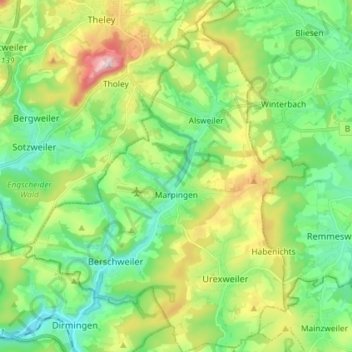
Name: Marpingen topographic map, elevation, terrain.
Location: Marpingen, Landkreis St. Wendel, Saarland, 66646, Deutschland (49.40926 6.99498 49.50360 7.11193)
Average elevation: 1,119 ft
Minimum elevation: 771 ft
Maximum elevation: 1,860 ft