
Huntsville topographic map
Interactive map
Click on the map to display elevation.
About this map
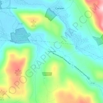
Name: Huntsville topographic map, elevation, terrain.
Location: Huntsville, Litchfield County, Connecticut, 06031, USA (41.92482 -73.33262 41.96482 -73.29262)
Average elevation: 922 ft
Minimum elevation: 630 ft
Maximum elevation: 1,611 ft