
Wasmes topographic map
Interactive map
Click on the map to display elevation.
About this map
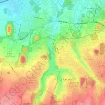
Name: Wasmes topographic map, elevation, terrain.
Location: Wasmes, Colfontaine, Bergen, Henegouwen, Wallonië, 7340, België (50.39634 3.81406 50.43465 3.86030)
Average elevation: 233 ft
Minimum elevation: 79 ft
Maximum elevation: 387 ft