
Maasbommel topographic map
Interactive map
Click on the map to display elevation.
About this map
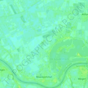
Name: Maasbommel topographic map, elevation, terrain.
Location: Maasbommel, West Maas en Waal, Geldern, Niederlande (51.81622 5.49645 51.85767 5.55370)
Average elevation: 20 ft
Minimum elevation: 7 ft
Maximum elevation: 43 ft