
Moulton topographic map
Interactive map
Click on the map to display elevation.
About this map
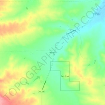
Name: Moulton topographic map, elevation, terrain.
Location: Moulton, Fergus County, Montana, Estados Unidos da América (47.32581 -109.37462 47.36581 -109.33462)
Average elevation: 3,770 ft
Minimum elevation: 3,625 ft
Maximum elevation: 3,976 ft