
Via topographic map
Interactive map
Click on the map to display elevation.
About this map
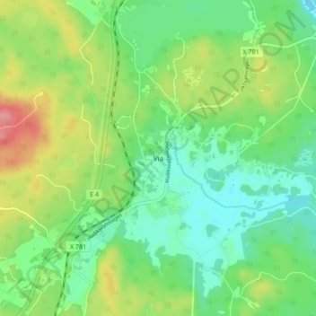
Name: Via topographic map, elevation, terrain.
Location: Via, Hudiksvalls kommun, Contea di Gävleborg, 824 94, Svezia (61.79551 17.18450 61.83551 17.22450)
Average elevation: 108 ft
Minimum elevation: 7 ft
Maximum elevation: 295 ft