
Two Creeks Buried Forest State Natural Area topographic map
Interactive map
Click on the map to display elevation.
About this map
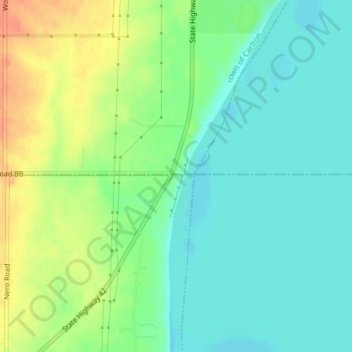
Name: Two Creeks Buried Forest State Natural Area topographic map, elevation, terrain.
Average elevation: 614 ft
Minimum elevation: 558 ft
Maximum elevation: 702 ft