
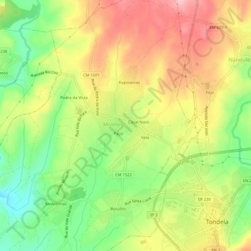
Marrocos topographic map
Interactive map
Click on the map to display elevation.
About this map
Name: Marrocos topographic map, elevation, terrain.
Location: Marrocos, Molelos, Tondela, Viseu, 3460-233, Portugal (40.51173 -8.11975 40.55173 -8.07975)
Average elevation: 948 ft
Minimum elevation: 682 ft
Maximum elevation: 1,214 ft