Refuge de Platé topographic map
Interactive map
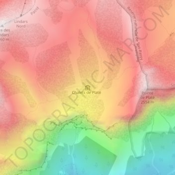
Click on the map to display elevation.
About this map
Name: Refuge de Platé topographic map, elevation, terrain.
Average elevation: 6,798 ft
Minimum elevation: 4,341 ft
Maximum elevation: 8,383 ft

Click on the map to display elevation.
Name: Refuge de Platé topographic map, elevation, terrain.
Average elevation: 6,798 ft
Minimum elevation: 4,341 ft
Maximum elevation: 8,383 ft