
Alatyr topographic map
Interactive map
Click on the map to display elevation.
About this map
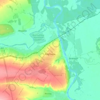
Name: Alatyr topographic map, elevation, terrain.
Location: Alatyr, Tchouvachie, District fédéral de la Volga, Russie (54.80783 46.48811 54.88395 46.66458)
Average elevation: 358 ft
Minimum elevation: 240 ft
Maximum elevation: 640 ft