
Phnum Sruoch topographic map
Interactive map
Click on the map to display elevation.
About this map
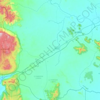
Name: Phnum Sruoch topographic map, elevation, terrain.
Location: Phnum Sruoch, Kampong Speu, Cambodia (11.09286 104.02046 11.52905 104.46443)
Average elevation: 466 ft
Minimum elevation: 72 ft
Maximum elevation: 2,913 ft
Other topographic maps
Click on a map to view its topography, its elevation and its terrain.
Basedth
Cambodia > Kampong Speu > Borsedth
Basedth, Borsedth, Kampong Speu, Cambodia
Average elevation: 125 ft
Chbar Mon City
Chbar Mon City, Kampong Speu, Cambodia
Average elevation: 128 ft
Chbar Mon
Cambodia > Kampong Speu > Chbar Mon
Chbar Mon, Chbar Mon City, Kampong Speu, 172, Cambodia
Average elevation: 121 ft
Phnom Aural
Phnom Aural, Aoral, Kampong Speu, Cambodia
Average elevation: 5,131 ft