
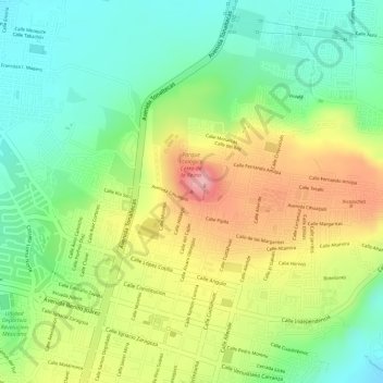
Cerro de La Reina topographic map
Interactive map
Click on the map to display elevation.
About this map
Name: Cerro de La Reina topographic map, elevation, terrain.
Location: Cerro de La Reina, Tonalá, Jalisco, 45400, México (20.63350 -103.23961 20.63360 -103.23951)
Average elevation: 5,384 ft
Minimum elevation: 5,161 ft
Maximum elevation: 5,669 ft