
Hawkins Lake topographic map
Interactive map
Click on the map to display elevation.
About this map
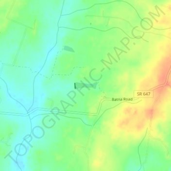
Name: Hawkins Lake topographic map, elevation, terrain.
Location: Hawkins Lake, Culpeper County, Virginia, United States (38.40614 -77.86039 38.40717 -77.85577)
Average elevation: 295 ft
Minimum elevation: 233 ft
Maximum elevation: 374 ft
Other topographic maps
Click on a map to view its topography, its elevation and its terrain.
Norman
United States > Virginia > Culpeper County > Norman
Norman, Culpeper County, Virginia, United States
Average elevation: 515 ft
Cardova
United States > Virginia > Culpeper County > Cardova
Cardova, Culpeper County, Virginia, United States
Average elevation: 479 ft