
洞泾镇 topographic map
Interactive map
Click on the map to display elevation.
About this map
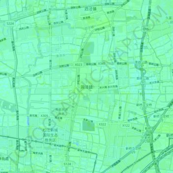
Name: 洞泾镇 topographic map, elevation, terrain.
Location: 洞泾镇, 松江区, 上海市, 201619, 中国 (31.04425 121.22472 31.12425 121.30472)
Average elevation: 10 ft
Minimum elevation: 0 ft
Maximum elevation: 16 ft
Other topographic maps
Click on a map to view its topography, its elevation and its terrain.