
Berner Alpen topographic map
Interactive map
Click on the map to display elevation.
About this map
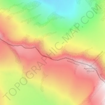
Name: Berner Alpen topographic map, elevation, terrain.
Average elevation: 10,846 ft
Minimum elevation: 8,543 ft
Maximum elevation: 12,831 ft
Other topographic maps
Click on a map to view its topography, its elevation and its terrain.
Wetterhorn
Switzerland > Bern > Grindelwald
Wetterhorn, Grindelwald, Verwaltungskreis Interlaken-Oberhasli, Verwaltungsregion Oberland, Bern, Switzerland
Average elevation: 9,396 ft