
Dorada topographic map
Interactive map
Click on the map to display elevation.
About this map
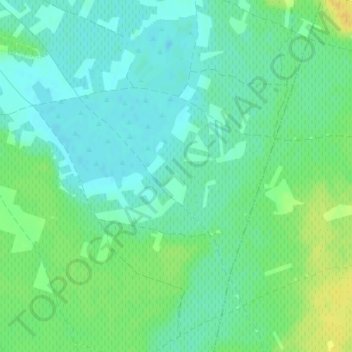
Name: Dorada topographic map, elevation, terrain.
Location: Dorada, Miguel Esteban, Castilla-La Mancha, España (39.49960 -3.06120 39.51960 -3.04120)
Average elevation: 2,211 ft
Minimum elevation: 2,182 ft
Maximum elevation: 2,264 ft