
Ghisola topographic map
Interactive map
Click on the map to display elevation.
About this map
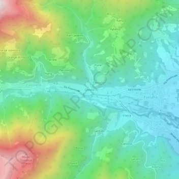
Name: Ghisola topographic map, elevation, terrain.
Location: Ghisola, Calcinere, Paesana, Cuneo, Piemonte, 12034, Italia (44.66627 7.23465 44.70627 7.27465)
Average elevation: 2,966 ft
Minimum elevation: 1,903 ft
Maximum elevation: 5,492 ft