Geolocate

Quaker Acres topographic map

Click on the map to display elevation.

About this map
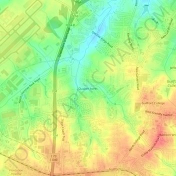
Name: Quaker Acres topographic map, elevation, terrain.

Location: Quaker Acres, Greensboro, Guilford County, North Carolina, 27410, United States (36.07514 -79.92559 36.11514 -79.88559)

Average elevation: 883 ft

Minimum elevation: 771 ft

Maximum elevation: 984 ft

Guilford County trails, hiking, mountain biking, running and outdoor activities

Gear up for your next adventure:

🪶LED Camping Lantern - Bright lantern for camp lighting
😴Insulated Sleeping Pads - Compact and warm pads for high-elevation camping
📶Vehicle Signal Boosters - Improve reception in rural areas while driving to trailheads
❄️Traction Cleats - Prevent slips on icy trails during winter hikes
🔭Compact Binoculars - HD vision for scouting terrain and identifying distant landmarks

As an Amazon Associate, this site earns from qualifying purchases at no extra cost to you.