
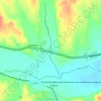
Río Henares topographic map
Interactive map
Click on the map to display elevation.
About this map
Name: Río Henares topographic map, elevation, terrain.
Location: Río Henares, Cetina, Zaragoza, Aragón, 50292, España (41.30444 -1.96122 41.30458 -1.96121)
Average elevation: 2,257 ft
Minimum elevation: 2,185 ft
Maximum elevation: 2,388 ft
Other topographic maps
Click on a map to view its topography, its elevation and its terrain.