
Los Patios topographic map
Interactive map
Click on the map to display elevation.
About this map
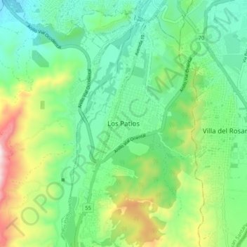
Name: Los Patios topographic map, elevation, terrain.
Location: Los Patios, Oriental, Norte de Santander, 52008, Colombia (7.79422 -72.54591 7.87422 -72.46591)
Average elevation: 1,486 ft
Minimum elevation: 846 ft
Maximum elevation: 2,986 ft