
Elandsberg topographic map
Interactive map
Click on the map to display elevation.
About this map
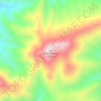
Name: Elandsberg topographic map, elevation, terrain.
Average elevation: 2,861 ft
Minimum elevation: 1,896 ft
Maximum elevation: 3,940 ft
Other topographic maps
Click on a map to view its topography, its elevation and its terrain.
Albertberg
South Africa > Western Cape > Oudtshoorn Local Municipality
Albertberg, Oudtshoorn Local Municipality, Garden Route District Municipality, Western Cape, South Africa
Average elevation: 4,619 ft
Oudtshoorn Ward 11
South Africa > Western Cape > Oudtshoorn Local Municipality
Oudtshoorn Ward 11, Oudtshoorn Local Municipality, Garden Route District Municipality, Western Cape, South Africa
Average elevation: 2,595 ft