
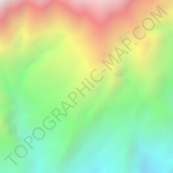
El Retiro topographic map
Interactive map
Click on the map to display elevation.
About this map
Name: El Retiro topographic map, elevation, terrain.
Location: El Retiro, Tutupali, Yacuambi, Zamora Chinchipe, Ecuador (-3.51750 -78.97472 -3.49750 -78.95472)
Average elevation: 6,834 ft
Minimum elevation: 4,993 ft
Maximum elevation: 9,186 ft