
Rinderhorn topographic map
Interactive map
Click on the map to display elevation.
About this map
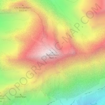
Name: Rinderhorn topographic map, elevation, terrain.
Location: Rinderhorn, Leukerbad, Leuk, Vallese, 3954, Svizzera (46.41349 7.65427 46.41359 7.65437)
Average elevation: 8,957 ft
Minimum elevation: 6,348 ft
Maximum elevation: 11,306 ft