
Midden-Drenthe topographic map
Interactive map
Click on the map to display elevation.
About this map
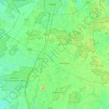
Name: Midden-Drenthe topographic map, elevation, terrain.
Location: Midden-Drenthe, Drenthe, Nederland (52.73569 6.35954 53.00541 6.72863)
Average elevation: 49 ft
Minimum elevation: 10 ft
Maximum elevation: 164 ft