
Nickerson topographic map
Interactive map
Click on the map to display elevation.
About this map
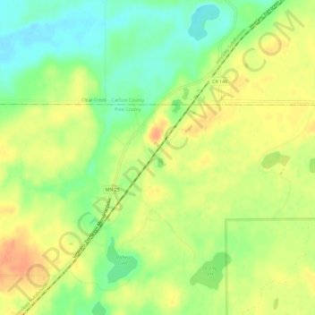
Name: Nickerson topographic map, elevation, terrain.
Location: Nickerson, Pine County, Minnesota, USA (46.39078 -92.51936 46.43078 -92.47936)
Average elevation: 1,152 ft
Minimum elevation: 1,079 ft
Maximum elevation: 1,211 ft