
Machanpally Thanda topographic map
Interactive map
Click on the map to display elevation.
About this map
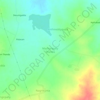
Name: Machanpally Thanda topographic map, elevation, terrain.
Average elevation: 1,972 ft
Minimum elevation: 1,900 ft
Maximum elevation: 2,103 ft
Other topographic maps
Click on a map to view its topography, its elevation and its terrain.
Shabad
India > Telangana > Shabad mandal
Shabad, Shabad mandal, Ranga Reddy District, Telangana, 509217, India
Average elevation: 2,070 ft