Chalfant Valley topographic map
Interactive map
Click on the map to display elevation.
About this map
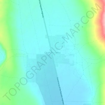
Name: Chalfant Valley topographic map, elevation, terrain.
Average elevation: 4,321 ft
Minimum elevation: 4,232 ft
Maximum elevation: 4,685 ft

Click on the map to display elevation.
Name: Chalfant Valley topographic map, elevation, terrain.
Average elevation: 4,321 ft
Minimum elevation: 4,232 ft
Maximum elevation: 4,685 ft