
Badules topographic map
Interactive map
Click on the map to display elevation.
About this map
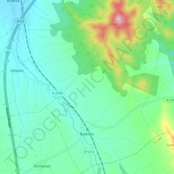
Name: Badules topographic map, elevation, terrain.
Location: Badules, Campo de Daroca, Zaragoza, Aragón, España (41.12257 -1.27314 41.18944 -1.21363)
Average elevation: 3,159 ft
Minimum elevation: 2,838 ft
Maximum elevation: 4,242 ft