
拉烈镇 topographic map
Interactive map
Click on the map to display elevation.
About this map
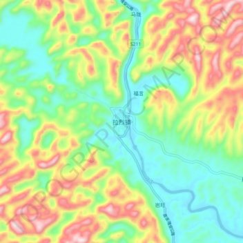
Name: 拉烈镇 topographic map, elevation, terrain.
Location: 拉烈镇, 都安瑶族自治县, 河池市, 广西壮族自治区, 中国 (24.14676 108.28188 24.22676 108.36188)
Average elevation: 1,020 ft
Minimum elevation: 367 ft
Maximum elevation: 2,047 ft
Other topographic maps
Click on a map to view its topography, its elevation and its terrain.