
Mohamed Boudiaf topographic map
Interactive map
Click on the map to display elevation.
About this map
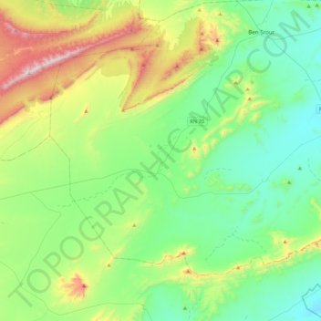
Name: Mohamed Boudiaf topographic map, elevation, terrain.
Location: Mohamed Boudiaf, Daïra Ben Srour, M'Sila, Algérie (34.77618 4.28260 35.02444 4.70798)
Average elevation: 2,894 ft
Minimum elevation: 1,955 ft
Maximum elevation: 5,466 ft
Other topographic maps
Click on a map to view its topography, its elevation and its terrain.
Ouled Slimane
Algérie > M'Sila > Daïra Ben Srour
Ouled Slimane, Daïra Ben Srour, M'Sila, 28031, Algérie
Average elevation: 2,057 ft