
Châtelus-le-Marcheix topographic map
Interactive map
Click on the map to display elevation.
About this map
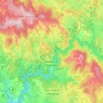
Name: Châtelus-le-Marcheix topographic map, elevation, terrain.
Average elevation: 1,532 ft
Minimum elevation: 948 ft
Maximum elevation: 2,267 ft