Les Saints Anges topographic map
Interactive map
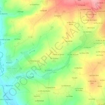
Click on the map to display elevation.
About this map
Name: Les Saints Anges topographic map, elevation, terrain.
Average elevation: 528 ft
Minimum elevation: 315 ft
Maximum elevation: 768 ft

Click on the map to display elevation.
Name: Les Saints Anges topographic map, elevation, terrain.
Average elevation: 528 ft
Minimum elevation: 315 ft
Maximum elevation: 768 ft