
Karoi topographic map
Interactive map
Click on the map to display elevation.
About this map
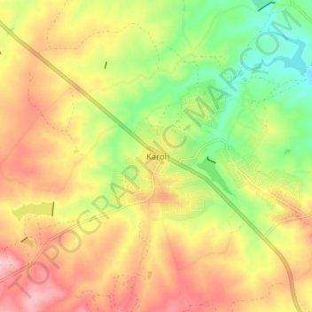
Name: Karoi topographic map, elevation, terrain.
Location: Karoi, Hurungwe, Mashonaland West, Zimbabwe (-16.85904 29.64369 -16.77904 29.72369)
Average elevation: 4,180 ft
Minimum elevation: 3,904 ft
Maximum elevation: 4,436 ft