
La Cumbre topographic map
Interactive map
Click on the map to display elevation.
About this map
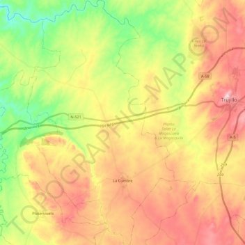
Name: La Cumbre topographic map, elevation, terrain.
Location: La Cumbre, Trujillo, Cáceres, Estrémadure, 10270, Espagne (39.36004 -6.06188 39.52858 -5.92992)
Average elevation: 1,398 ft
Minimum elevation: 889 ft
Maximum elevation: 1,919 ft