
Tamazula topographic map
Interactive map
Click on the map to display elevation.
About this map
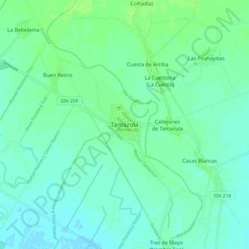
Name: Tamazula topographic map, elevation, terrain.
Location: Tamazula, Guasave, Sinaloa, México (25.40612 -108.49404 25.48612 -108.41404)
Average elevation: 36 ft
Minimum elevation: 20 ft
Maximum elevation: 56 ft