
Russell Island topographic map
Interactive map
Click on the map to display elevation.
About this map
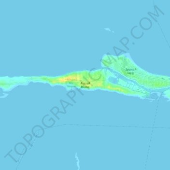
Name: Russell Island topographic map, elevation, terrain.
Location: Russell Island, Spanish Wells, The Bahamas (25.53760 -76.81086 25.54762 -76.75505)
Average elevation: 3 ft
Minimum elevation: -3 ft
Maximum elevation: 85 ft