
O Valadouro topographic map
Interactive map
Click on the map to display elevation.
About this map
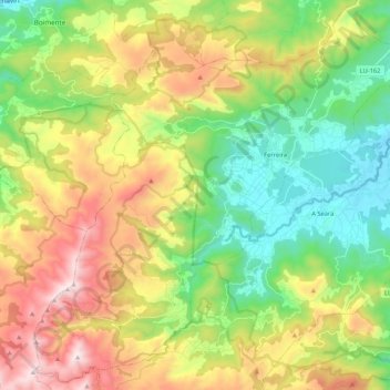
Name: O Valadouro topographic map, elevation, terrain.
Location: O Valadouro, Mariña Central, Lugo, Galicia, 27770, España (43.46062 -7.57224 43.60841 -7.35947)
Average elevation: 1,404 ft
Minimum elevation: 108 ft
Maximum elevation: 3,445 ft