
Crowland topographic map
Click on the map to display elevation.
About this map
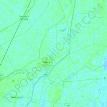
Name: Crowland topographic map, elevation, terrain.
Location: Crowland, South Holland, Lincolnshire, England, United Kingdom (52.65149 -0.23529 52.71808 -0.05121)
Average elevation: 10 ft
Minimum elevation: -7 ft
Maximum elevation: 23 ft
Other topographic maps
Click on a map to view its topography, its elevation and its terrain.
Moulton Chapel
United Kingdom > England > Lincolnshire > South Holland > Moulton Chapel
Average elevation: 10 ft