
Aldehorno topographic map
Interactive map
Click on the map to display elevation.
About this map
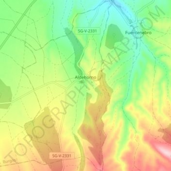
Name: Aldehorno topographic map, elevation, terrain.
Location: Aldehorno, Segovia, Castilla y León, España (41.48239 -3.80502 41.53793 -3.76593)
Average elevation: 3,232 ft
Minimum elevation: 2,894 ft
Maximum elevation: 3,684 ft