
Birten topographic map
Interactive map
Click on the map to display elevation.
About this map
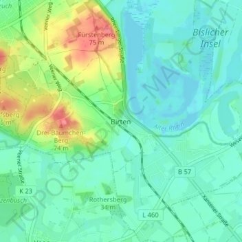
Name: Birten topographic map, elevation, terrain.
Location: Birten, Xanten, Kreis Wesel, Noordrijn-Westfalen, Duitsland (51.61366 6.45708 51.65366 6.49708)
Average elevation: 95 ft
Minimum elevation: 39 ft
Maximum elevation: 246 ft