
Mazuela topographic map
Interactive map
Click on the map to display elevation.
About this map
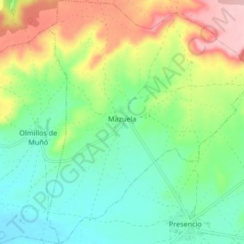
Name: Mazuela topographic map, elevation, terrain.
Location: Mazuela, Burgos, Castilië en León, Spanje (42.18213 -3.93762 42.22948 -3.88283)
Average elevation: 2,776 ft
Minimum elevation: 2,575 ft
Maximum elevation: 3,136 ft