
Northeastern Manitoulin and the Islands topographic map
Interactive map
Click on the map to display elevation.
About this map
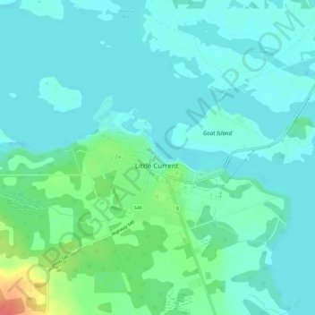
Name: Northeastern Manitoulin and the Islands topographic map, elevation, terrain.
Average elevation: 604 ft
Minimum elevation: 564 ft
Maximum elevation: 745 ft