
Mellit topographic map
Interactive map
Click on the map to display elevation.
About this map
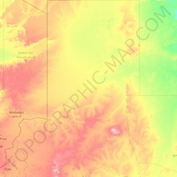
Name: Mellit topographic map, elevation, terrain.
Location: Mellit, Sudan (13.59286 23.86176 20.00142 27.50000)
Average elevation: 2,316 ft
Minimum elevation: 991 ft
Maximum elevation: 6,394 ft