
Valle de Allende topographic map
Interactive map
Click on the map to display elevation.
About this map
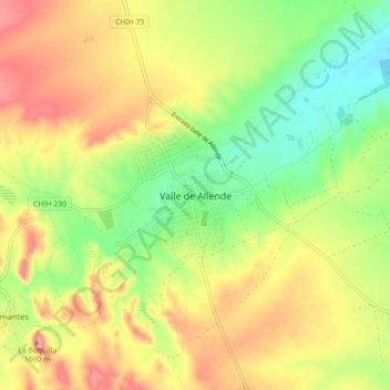
Name: Valle de Allende topographic map, elevation, terrain.
Location: Valle de Allende, Allende, Chihuahua, 33920, México (26.89686 -105.43304 26.97686 -105.35304)
Average elevation: 5,351 ft
Minimum elevation: 5,148 ft
Maximum elevation: 5,574 ft