
Amberloup topographic map
Interactive map
Click on the map to display elevation.
About this map
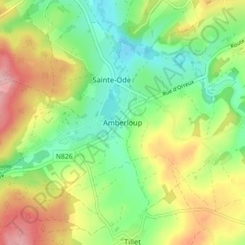
Name: Amberloup topographic map, elevation, terrain.
Location: Amberloup, Bastenaken, Luxemburg, Wallonië, 6680, België (50.00930 5.50729 50.04930 5.54729)
Average elevation: 1,381 ft
Minimum elevation: 1,178 ft
Maximum elevation: 1,677 ft