Geolocate

Sunset topographic map

Click on the map to display elevation.

About this map

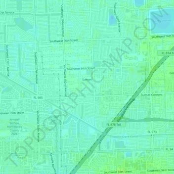
Name: Sunset topographic map, elevation, terrain.

Location: Sunset, Miami-Dade County, Florida, 33173, United States (25.69140 -80.38285 25.71659 -80.33351)

Average elevation: 20 ft

Minimum elevation: 7 ft

Maximum elevation: 39 ft

Miami-Dade County trails, hiking, mountain biking, running and outdoor activities

Gear up for your next adventure:

🧭Orienteering Set - Complete compass and map reading kit
🗺️NatGeo Topo Maps - High-quality waterproof printed topographic maps of US Parks
🧭Outdoor Navigation Book - Learn advanced navigation skills
📻Weather Alert Radios - Stay informed of storm risks while off-the-grid
🌄Hiking Binoculars - Compact binoculars for scenic views and trail spotting

As an Amazon Associate, this site earns from qualifying purchases at no extra cost to you.