
The Gap topographic map
Interactive map
Click on the map to display elevation.
About this map
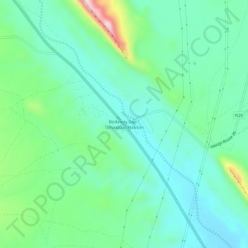
Name: The Gap topographic map, elevation, terrain.
Location: The Gap, Coconino County, Arizona, United States (36.28398 -111.48062 36.32398 -111.44062)
Average elevation: 5,489 ft
Minimum elevation: 5,190 ft
Maximum elevation: 6,404 ft