
คลองโยง topographic map
Interactive map
Click on the map to display elevation.
About this map
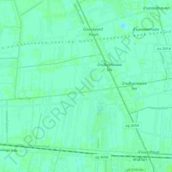
Name: คลองโยง topographic map, elevation, terrain.
Location: คลองโยง, ขุนแก้ว, จังหวัดนครปฐม, ึ73170, Thaïlande (13.79533 100.25849 13.87533 100.33849)
Average elevation: 10 ft
Minimum elevation: -3 ft
Maximum elevation: 20 ft