
Sultan Sumagka topographic map
Interactive map
Click on the map to display elevation.
About this map
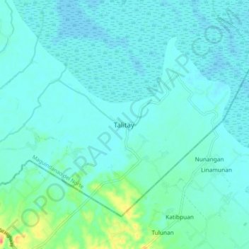
Name: Sultan Sumagka topographic map, elevation, terrain.
Location: Sultan Sumagka, Maguindanao, Bangsamoro, Philippines (6.99523 124.33475 7.07523 124.41475)
Average elevation: 26 ft
Minimum elevation: -3 ft
Maximum elevation: 161 ft