
La Cotera topographic map
Interactive map
Click on the map to display elevation.
About this map
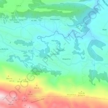
Name: La Cotera topographic map, elevation, terrain.
Location: La Cotera, Ribadedeva, Asturias, 33590, España (43.34627 -4.63053 43.38627 -4.59053)
Average elevation: 656 ft
Minimum elevation: 20 ft
Maximum elevation: 2,306 ft